The Arctic Ignorance
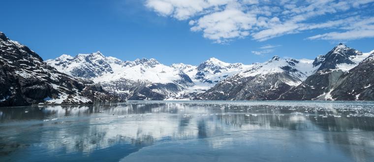
The Arctic is a place that, even today, many of us aren’t too sure about. It’s surrounded in mystery and is usually joked as being the home of Igloos, polar bears and a lot of snow. However, the actual history of the Arctic goes far beyond what we might have considered in the past – once upon a time, the Arctic was nothing more than a place of fiction. Filled with make-believe stories, legends and various attributed nonsense to give it more purpose in the world, the Arctic took many years to actually start being investigated prominently.
Did you know that it took us until about the 16th Century to start actively filling in the massive black expanses that were on maps? As scientific investigation into the Arctic – and if it was actually changing – started and eventually the massive species-wide ignorance we had shown to the Arctic had become clear to see. Whilst it was figured that since nothing happened there, it would all be the same, the reality was (obviously) very different.
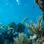
16th Century maps show an Arctic that is absolutely thriving with life and things going on – somewhat differ to the uninhabitable nightmare it was figured as in the 5th Century. It was seem as simply too vast and intimidating for anyone of prior years to actually investigate and learn more about. It’s also, coincidentally, where the majority of myths take place in the world.
Many legends are based within the arctic that nobody ever dared to explore – so, instead, it became the home of legends across the entire world. And to future generations, these mostly fictional additions to the Arctic landscape became almost known as fact. As the 15th Century maps show, even places like Scandinavia were absolutely loaded with life that they simply do not have today.
This was the power of the map – what was left behind by those supposedly more learned than ourselves would simply be taken as fact.
A 1492 globe, produced by Martin Behaim, shows a rather unique style of the North Pole that we’d never seen before. Not only did it have four rivers running into the pole in a symmetrical fashion, it was this version of the North Pole that was still used in some of the most famous world maps. This includes Gerard Mercator’s world maps of 1569 and 1595 – and for many years, this became simply the norm.
In fact, maps were once a place of absolute change – take the magnetic mountain that was once found to the north of many maps that were brought out earlier in the past. It was found that many sailors found their compasses to be giving back unreliable readings as they traversed the seas. This is built upon the story found in a journal left behind by Dutch sailor Jacobus Cnoyen, who was a first-hand witness to these peculiar readings from compasses.
Despite sounding a bit outlandish, it was taken as fact by most powerful European nations who looked to expand towards this part of the world. The advice was heeded, and for many years a magnetic mountain sat towards this part of the world!
The British were one of the first to truly look into this part of the world, looking to try and find a quick route into Asia and specifically China. These changes that were documented are almost the source of comedy – they change entirely from one map to the next. Things get more confusing when each of these maps were supposedly penned by top scholars – and so this new ever-changing Arctic became a place of much study for many British people.
The world of maps has obviously long since improved with modern understanding and our ability to comprehend the world. However, at one stage in history maps of the Arctic were the source of almost opinion or borderline fiction – it’s no wonder so many Arctic legends exist even today!


It’s amazing how much we were able to discover in the last 50 years! Almost as much as in thousands of years before that. Technology and our minds have come a long way and there are still so many things left to discover and many things we will never know anything about. Personally, the more I learn the more I realize I know nothing.
Yeah, it’s no wonder so many legends and fairy-tales have been born from this part of the world! Considering how many maps there were and how many views on what the Arctic looks like existed it’s not a surprise many choose to “mystify” this region.
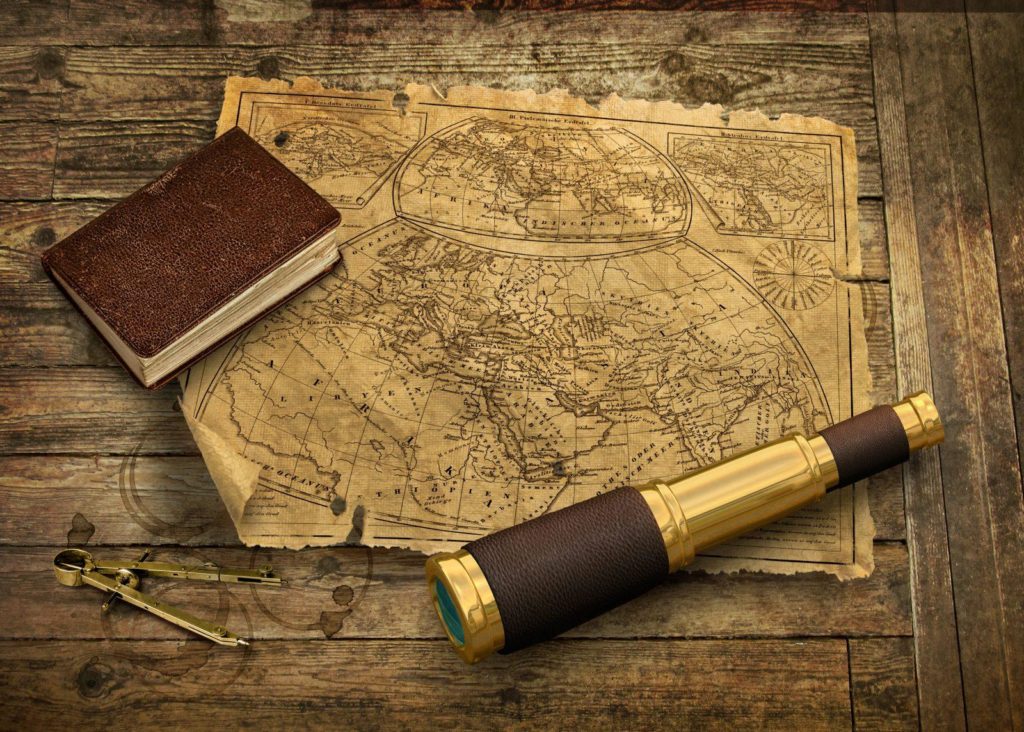
I love analyzing old maps to see how different “scholars” and “experts” viewed the world back in the 15th century. Ah, the seas where so clean back then – before any oil problems and before we started throwing all sorts of garbage in the sea. We’ve come a long way with the maps but we are still so far away from understanding how to protect our planet.